For these labs you will need to measure distances on images. This can be done most simply using Photoshop software, which is installed on the computers in CH1 and elsewhere. (These measurements can also be made using ArcView, but the instructions for this will not be given here.)
Return to the Ice Geology lab.
1. Download images from the Io (or Ice Geology) lab to a temporary folder on the desktop of the computer you are using.
The temporary folder on your
desktop may be called "TEMP" or whatever else you choose.
2. Run Photoshop.
Start > Programs > Adobe
> Photoshop > Photoshop 6.0
3. Using Photoshop, open the file you wish to see.
File > Open [select
file in appropriate folder] > Open
4. Set units for ruler preference in Photoshop to pixels.
Edit > Preferences > Units
& Rulers > pixels [OK]
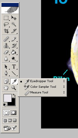
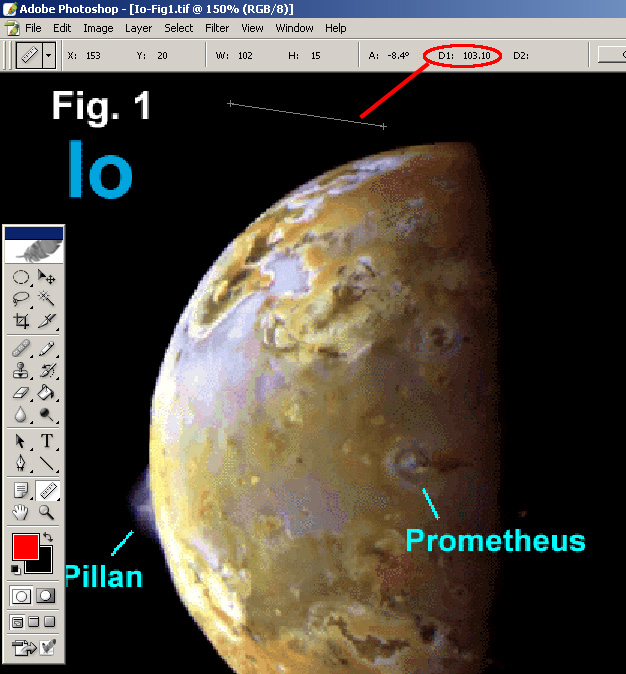
5. Use the Measure Tool to measure a distance. This
tool is sometimes hiding behind the Eyedropper in the Tools bar. After
selecting the Measure Tool, draw a line between two points and look for
the distance ("D1" value) in the menu bar.
|
|
| Find and click on the Measure Tool to find distance. | The distance between two points is given in the units you have preselected as the default (in this case, pixels, see step 4). |