
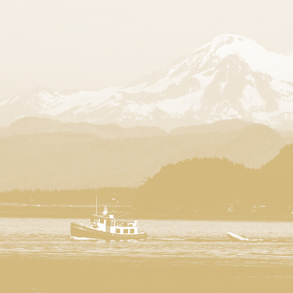
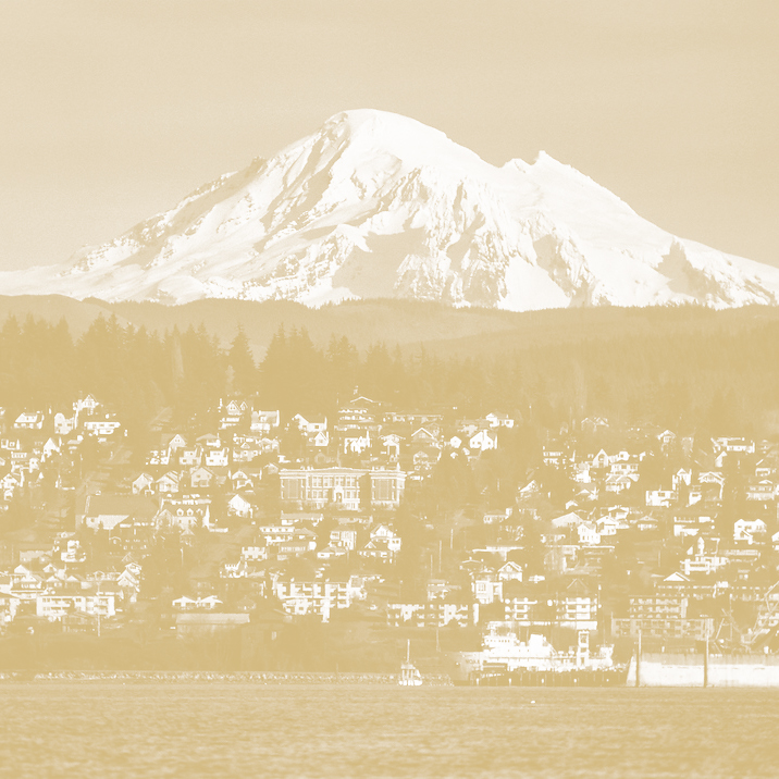
MT. BAKER
Snow and ice-covered Mount Baker is the highest peak in the North Cascades (3,286 m or 10,781 ft) and the northernmost volcano in the conterminous United States. It is the only U.S. volcano in the Cascade Range that has been affected by continental glaciation. The stratovolcano is composed mainly of andesite lava flows and breccias and was largely formed prior to the most recent major glaciation, which occurred between about 25,000 and 10,000 years ago. The most recent major eruption of Mount Baker, about 6,700 years ago, began with flank collapse events that resulted in lahars that moved down the Middle Fork and Nooksack Rivers as well as down the east flank (damming Baker River and creating Baker Lake) and ended with a widespread tephra fall.

QUICK FACTS
Location: Washington, Whatcom County
Elevation: 3,286 (m) 10,781 (f)
Volcano type: Stratovolcano
Most recent eruption: 6,700 years ago
VOLCANIC HISTORY

Research beginning in the late 1990s shows that Mount Baker is the youngest of several volcanic centers in the area and one of the youngest volcanoes in the Cascade Range. The Pliocene Hannegan caldera is preserved 16 miles (25 km) northeast of Mount Baker Volcanic activity in the Mount Baker volcanic field began more than one million years ago, but many of the earliest lava and tephra deposits have been removed by glacial erosion. The pale-colored rocks northeast of the modern volcano mark the site of the ancient (1.15 million years old) Kulshan caldera that collapsed after an enormous ash eruption one million years ago. From about 900,000 years ago to the present, numerous andesitic volcanic centers in the area have come and disappeared through glacial erosion.