MT. RAINIER
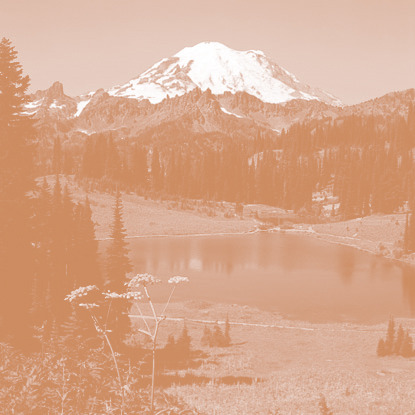
Mount Rainier is the highest mountain of the Cascade Range of the Pacific Northwest, and the highest mountain in the U.S. state of Washington. It is a large active stratovolcano located 54 miles (87 km) south-southeast of Seattle, in the Mount Rainier National Park. It is the most topographically prominent mountain in the contiguous United States and the Cascade Volcanic Arc, with a summit elevation of 14,411 ft (4,392 m). Mt. Rainier is considered one of the most dangerous volcanoes in the world, and it is on the Decade Volcano list. Because of its large amount of glacial ice, Mt. Rainier could produce massive lahars that could threaten the entire Puyallup River valley, and poses a grave threat to the southern sections of the Seattle metropolitan area, a city of over 650,000 people with more than 3.7 million living in its metropolitan area.

QUICK FACTS
Location: Washington, Pierce County
Elevation: 4,392 (m) 14,410 (f)
Volcano type: Stratovolcano
Most recent eruption: ∼1,000 years ago


VOLCANIC HISTORY

The most recent recorded volcanic eruption was between 1820 and 1854, but many eyewitnesses reported eruptive activity in 1858, 1870, 1879, 1882 and 1894 as well. Although Mount Rainier is now dormant, as of 2016 Seismic monitors have been located in Mount Rainier National Park and on the mountain itself to monitor activity. However, an eruption could be deadly for all living in areas within the immediate vicinity of the volcano and an eruption would also cause trouble from Vancouver, Canada to San Francisco because of the massive amounts of ash blasting out of the volcano into the atmosphere.