Lab 2
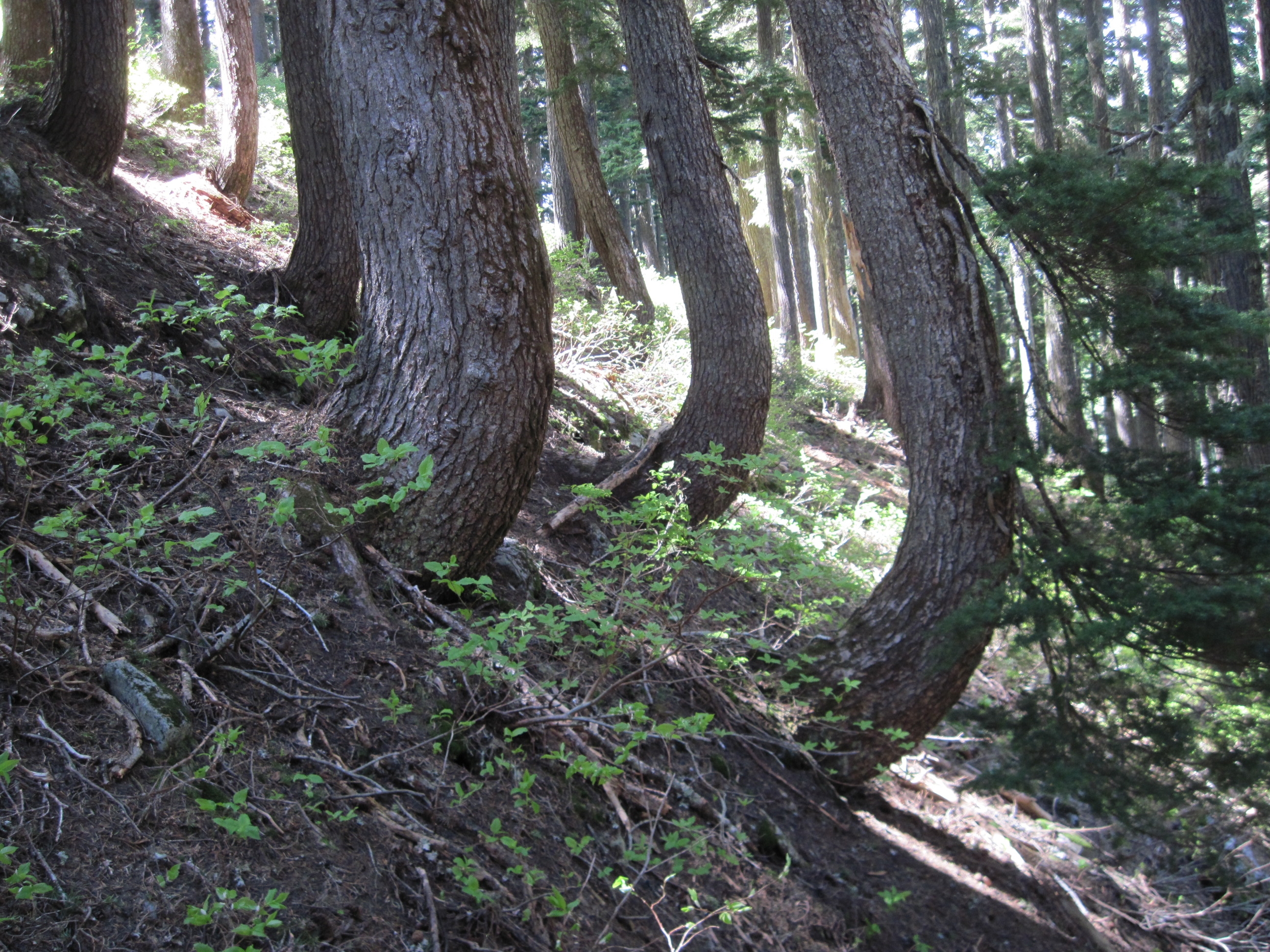
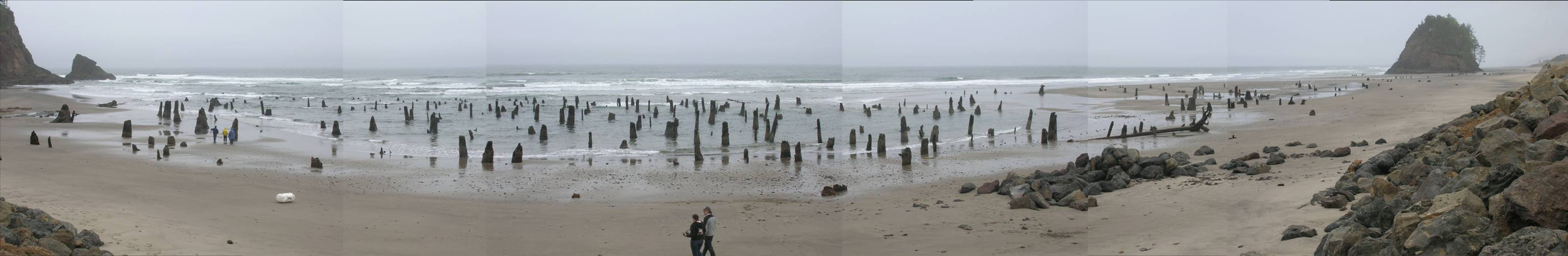
Gigapan Images
Two flows on the south side of South Sister
Lab 3
The Narrows of the John Day River
Lake Simtusus, Deschutes River (Image from Flickr)
Hell's Canyon from Buckhorn Point, OR
Lab 4Geological
Map of Portland, Oregon
Lab 5
Volcanic Hazards: Ash Falls
Volcanic
Hazards: Lava Flows
Lab 6
Geological
Map of Lake Oswego, Oregon
Geological
Map of Offshore Oregon and the Adjacent Coast
The following may work best with the Chrome browser:
http://emvc.geol.ucsb.edu/3_downloads/M3RegTect/dNoPacific/NoPPacific.mov
http://emvc.geol.ucsb.edu/3_downloads/M4WNACal/bNEPacWNoAmer/Pac-NoAm_38.mov
http://geosphere.geoscienceworld.org/content/suppl/2009/02/13/1.3.147.DC1/10.1130_GES00016.1.s1.mov
Lab 7
Irwin and Wooden Klamath Terrane Map
(You will need to rotate the Terrane Map counter-clockwise)
Lab 8
India
and Asia Plate Tectonic Model
Geological
Map of Pearsoll Peak
Geological Map of Mitchell Oregon (south portion)
Key to
Geologic Map of Mitchel Oregon
Snake River Canyon Geological Map
Lab 9
http://www.smithsonianeducation.org/educators/lesson_plans/climate_change/
http://clamp.ibcas.ac.cn/Clampset2.html
http://web.pdx.edu/~jjackson/9%20Lab%20Data/
Lab 10