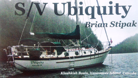
Cruising with Brian Stipak on S/V Ubiquity
Tell Me What Happened!
Where Can I See Photos?
Where Can I See Videos?
Where Did Ubiquity Go?
Tell Me What Happened!
Read my notes about the cruise to Haida Gwaii,
formerly called the Queen Charlotte Islands.
Read my blog telling about cruising on Ubiquity since 2016
(Keep clicking on "Next" button to page through blog posts.).
Read about a Mayday call I responded to from a boat
sinking in the Sea of Cortez.
Where Can I See Photos and Videos?
-
On my Flickr site you can see photos and videos organized into major albums.
Here are the major albums:
- Cruise to Mexico, The Sea of Cortez, 2016-2018:
-
Off Cabo Falso and Back to La Paz, April-May 2018
-
Puerto Escondido to La Paz, March 2018
-
Santa Rosalia to Puerto Escondido, March 2018
-
Northern Sea of Cortez, February 2018
-
Presentation: Portland, Oregon to San Carlos, Mexico, October 2016 - June 2017
(This includes a selection of the best photos and videos from the other albums.)
-
San Carlos, June 2017 - February 2018
-
La Paz to San Carlos, April-June 2017
-
Cruising near La Paz, March-April 2017
-
Ensenada to La Paz, Mexico, February-March 2017
-
Portland to San Diego, October 2016 - January 2017
-
Haida Gwaii (Queen Charlotte Islands), 2015
-
Vancouver Island Circumnavigation, 2013
- BONUS PHOTOS AND VIDEOS:
-
On my blog
my blog entries usually include photos,
plus if you click on the "Gallery" tab near the top of the page you can see more photos.
-
On my YouTube Channel
are videos of crossing the Columbia River Bar, sailing the Inside Passage,
Sailing off the British Columbia, Washington, Oregon, California, and Baja
Mexico coasts, plus sailing in the Sea of Cortez.
-
On my Pacific Seacraft 34 web site
are videos of S/V Ubiquity sailing on different points of sail and in different conditions.
Where Did Ubiquity Go?
You have seveal ways to find S/V Ubiquity and see where she has gone:
- View S/V Ubiquity's current position
(typically accurate to within one hour) and track on Mapshare.
You can also click on the left side, or on the individual points, to see expanded information on time, speed, and positions.
This tracking method is the single best way to see S/V Ubiquity's current position,
and see her tracks (beginning in 2016).
(The following method works only when Ubiquity is underway within VHF range of AIS shore receivers, and will not work
when Ubiquity is far off-shore or in remote waters, including most of Mexico. It shows only the current track, not older tracks.)
-
Track Ubiquity in real-time on the Vessel Finder web site,
or by using smartphone apps like Vesselfinder, Marine Traffic, or Ship Finder.
This method gives the best accuracy for the current position and track
(when it is available).
(The other methods below are back-up methods that show more limited tracking points.)
- On Shiptrak position reports enter the call sign "kf7qcx" and click "View"
(Click at bottom left of Shiptrak page, on the "Log Entries" box, for detailed listing of all log entries).
This is the only tracking method that shows positions for S/V Ubiquity's cruising prior to 2016, including the trip to Haida Gwaii,
and you may like seeing how it plots the reports in temporal sequence.
-
Go to this Winklinks position reports page to see S/V Ubiquity's positions reported by ham radio for the past 12 months.
You can also go to Winlink position reports, enter the call sign "kf7qcx", and click "Find".
- Go to my blog and click on the "Map" tab near the top of the page.


