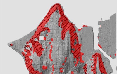
Research Themes:
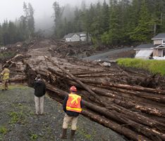

Coarse woody debris, landslide mechanics, and carbon stocks: Woody debris is abundant in many landslides and may affect runout through granular phenomena such as force chains. Understanding this runout is important for hazard quantification as well as determining the role landslide disturbance plays in the global carbon cycle. Research in this theme involves using remote sensing data and physical and numerical modeling in collaboration with ecologists to link landsliding to carbon stocks and fluxes in forested environments.
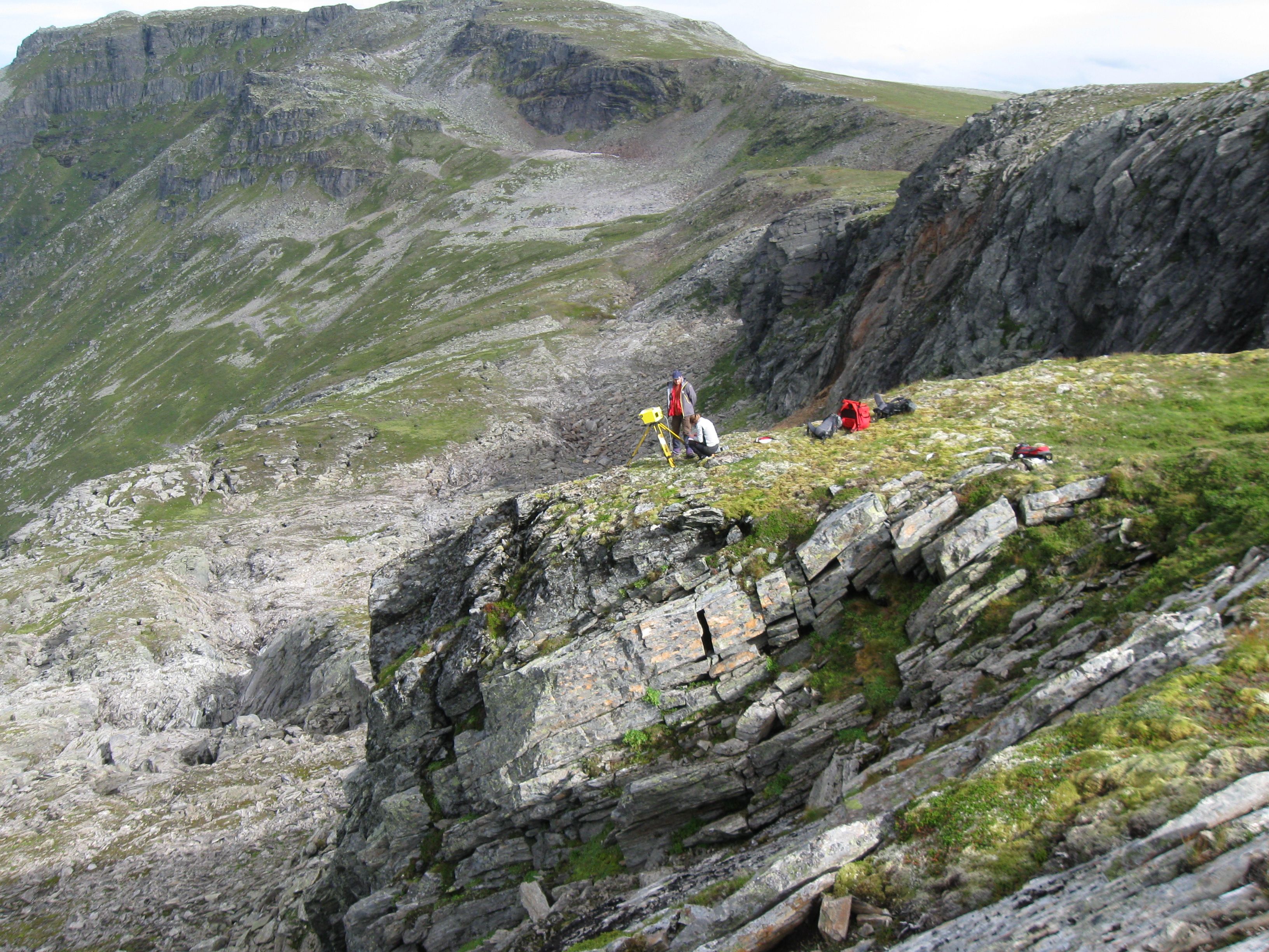
4D landslide kinematics: New tools such as terrestrial and airborne laser scanning, structure-from-motion algorithms, and satellite imagery are allowing us to measure deformation of the earth's surface with unprecedented resolution and precision. We are capitalizing on this data to measure the detailed kinematics of landslide motion, using inverse theory to infer subsurface characteristics, and probing how these properties change in time as a landslide responds to climate and land use practices.
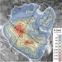
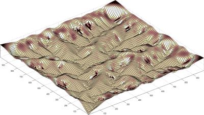
Numerical landscape evolution modeling: In order to make quantitative predictions or interpretations about how a landscape responds to changes in tectonic or climatic forcing, we need mathematical "laws" to govern the transport of sediment. We derive and test these laws, especially those for deep-seated landsliding, and explore the complex feedbacks among geomorphic processes that are responsible for a landscape's rich variety of landforms, patterns, scaling, and transient behaviors.
Automated geomorphic mapping: Geomorphic processes create distinctive topography at scales ranging from a few grains to an entire mountain range. High resolution topographic data recorded from air- or spaceborne platforms enables us to precisely identify these topographic signatures over broad areas and automatically map geomorphic features. Of particular interest are spectral techniques, such as Fourier and wavelet transforms, and other image processing tools.
