http://web.pdx.edu/~rueterj/courses/esr220/lab/tidewood-johnson.html

UPPER FANNO CREEK |
||
 |
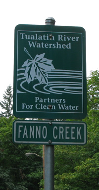
Location:Fanno Creek runs from just below Hillsdale all the way to the Tualitin River. The stream runs right along the Beaverton-Hillsdale highway, passes under the road and eventually gets to the far (west) side of highway 217. From there the stream heads south. The sampling point for this upper reach of the stream is off the right side the highway (when heading away from Portland) on 39th Avenue.
|
|
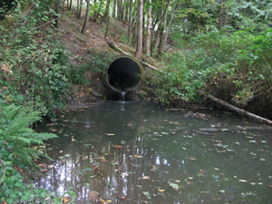
Interesting points:This little stream runs right along the highway and is easy to overlook however there is a active community support for this stream. Possible sampling points:Just west of 39th Dr you can go down the hill and find where a big pipe drains into a little pool. This stream will vary drammatically after rain.
|
 |
|
Remember:
|
||
Links to other data and references:1. nearest USGS gaguing and monitoring sites are:
2. More information on the restoration effort is available from:
|
||