SoBu Development Sites:
Site Inventories

SoBu Development Sites:
Site Inventories
Explore the Individual Sites:


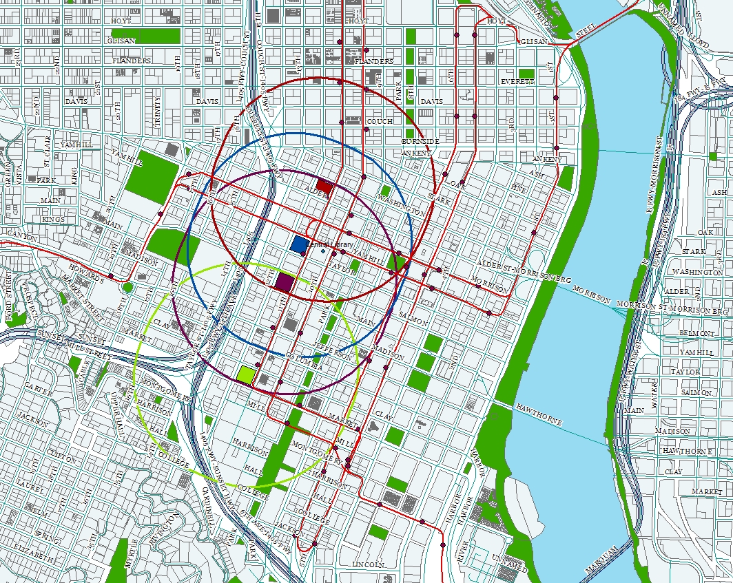
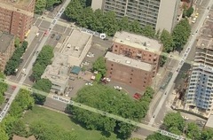
This website analyzes four different potential sites for redevelopment in the area south of Burnside and east of Interstate 405, in downtown Portland, Oregon. This map shows each site, along with a buffer demarcating a quarter mile buffer to demonstrate that which is easily walkable:
Commonalities among sites:
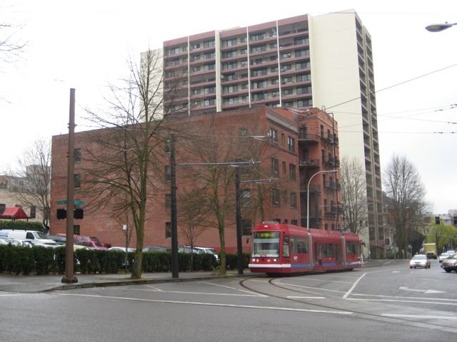
Each site is located between 11th and 12th Avenues (just under half a mile from the Willamette River) and one block from Interstate 405. Each site was visited on a weekday morning, with conditions ranging from overcast to rainy.
Each site is on the streetcar line, which runs south on 11th Avenue (and north on 10th Avenue, one block east). This makes the sites strategic for access to the Pearl District, Burnside, the Portland Farmer’s Market and Portland State University.
The Green, Blue and Yellow MAX line are all within an easy walk of all sites. Each site has nearby access to two major highways (Interstate 405 and Highway 26) for easy movement into and out of the city.
Each site is within walking distance of key Portland cultural sites including the Public Library, the Portland Art Museum, the Arlene Schnitzer Hall, Pioneer Courthouse Square, and Portland State University. PGE park and Washington Park are slightly further afield, but still walkable for most people.
Employment centers downtown are an easy walk away.
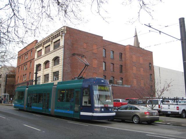
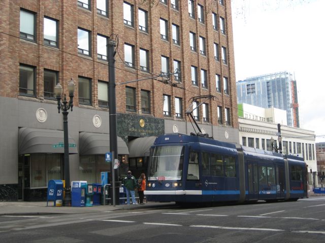
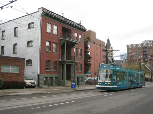
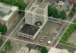
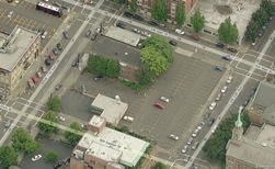
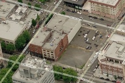
Aerial photos are from maps.live.com. All other photos are my own.