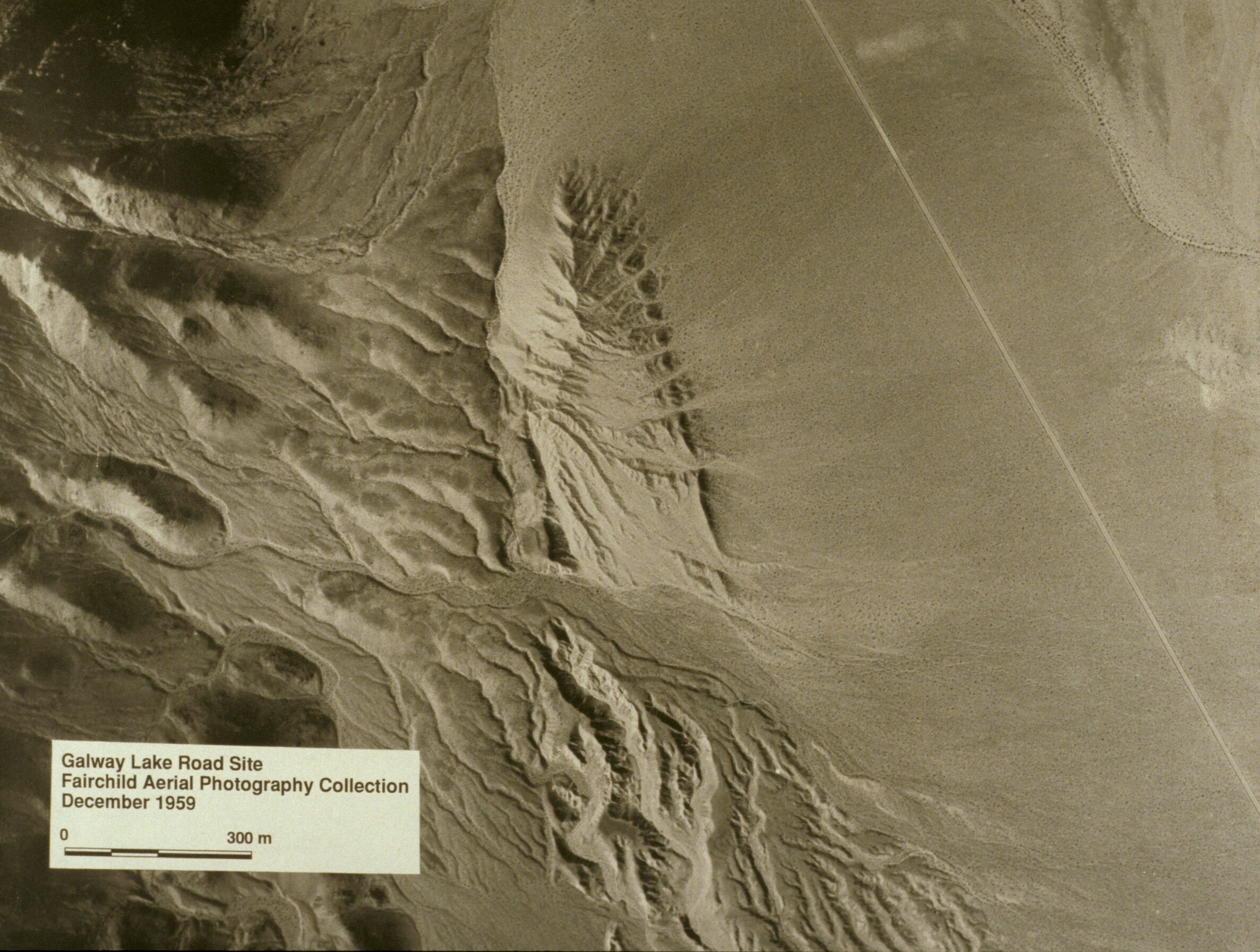


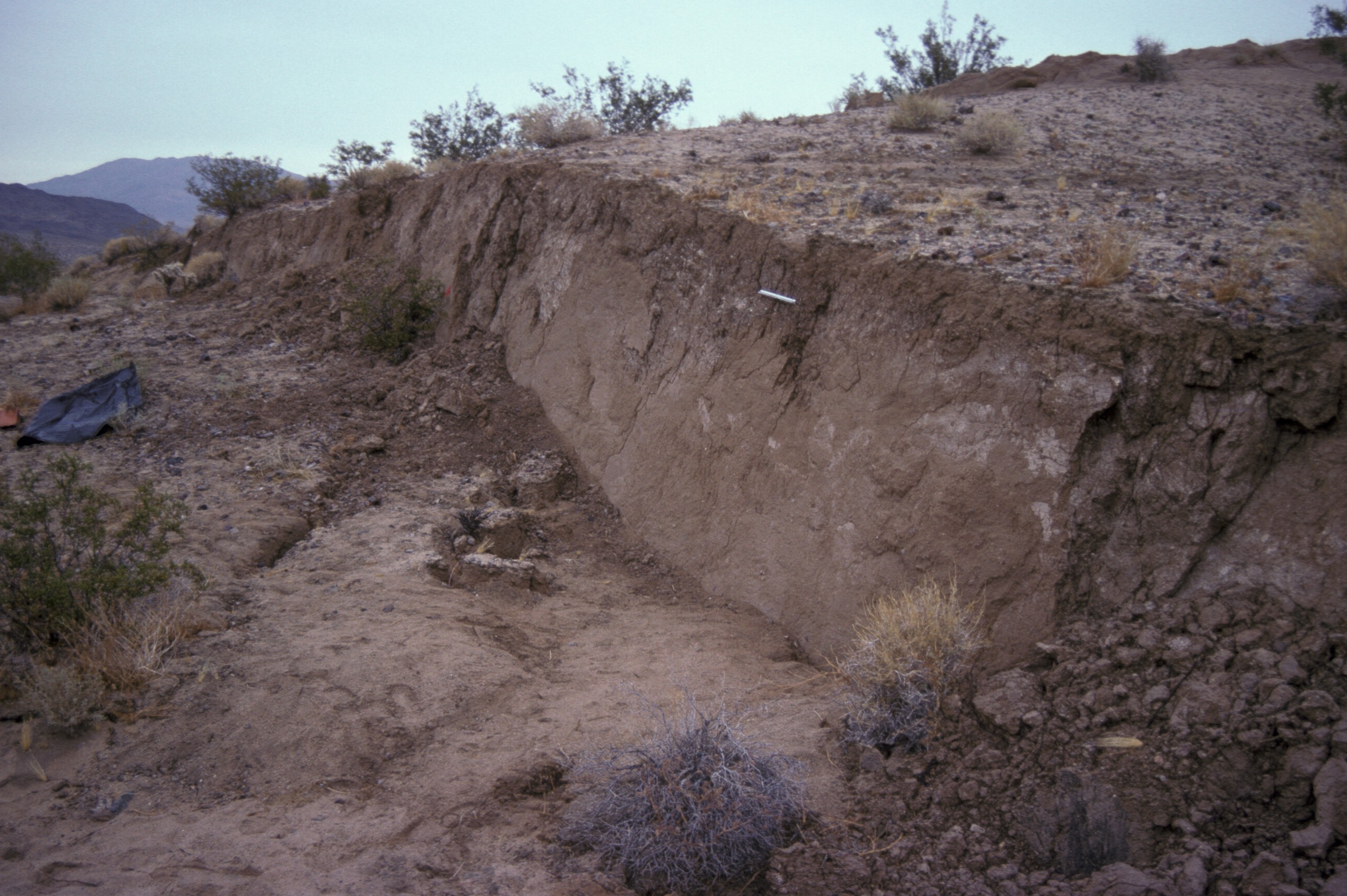

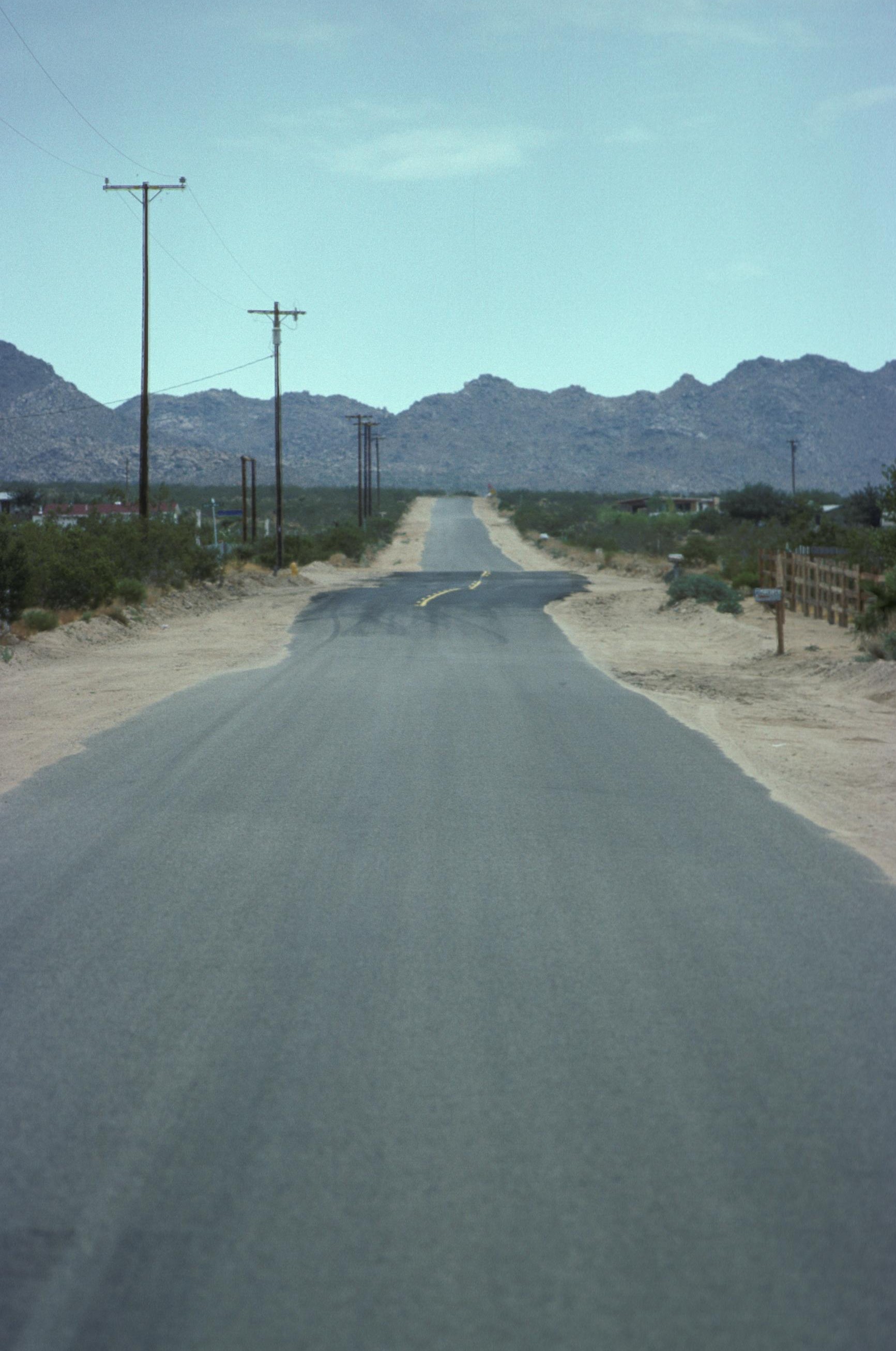

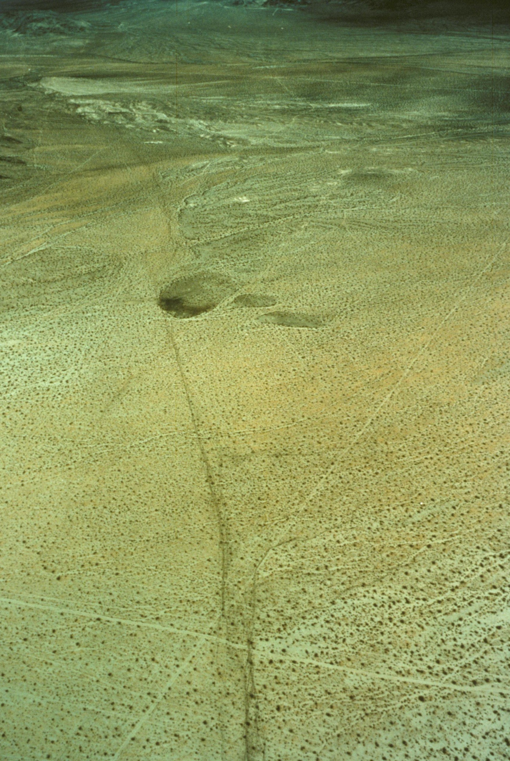
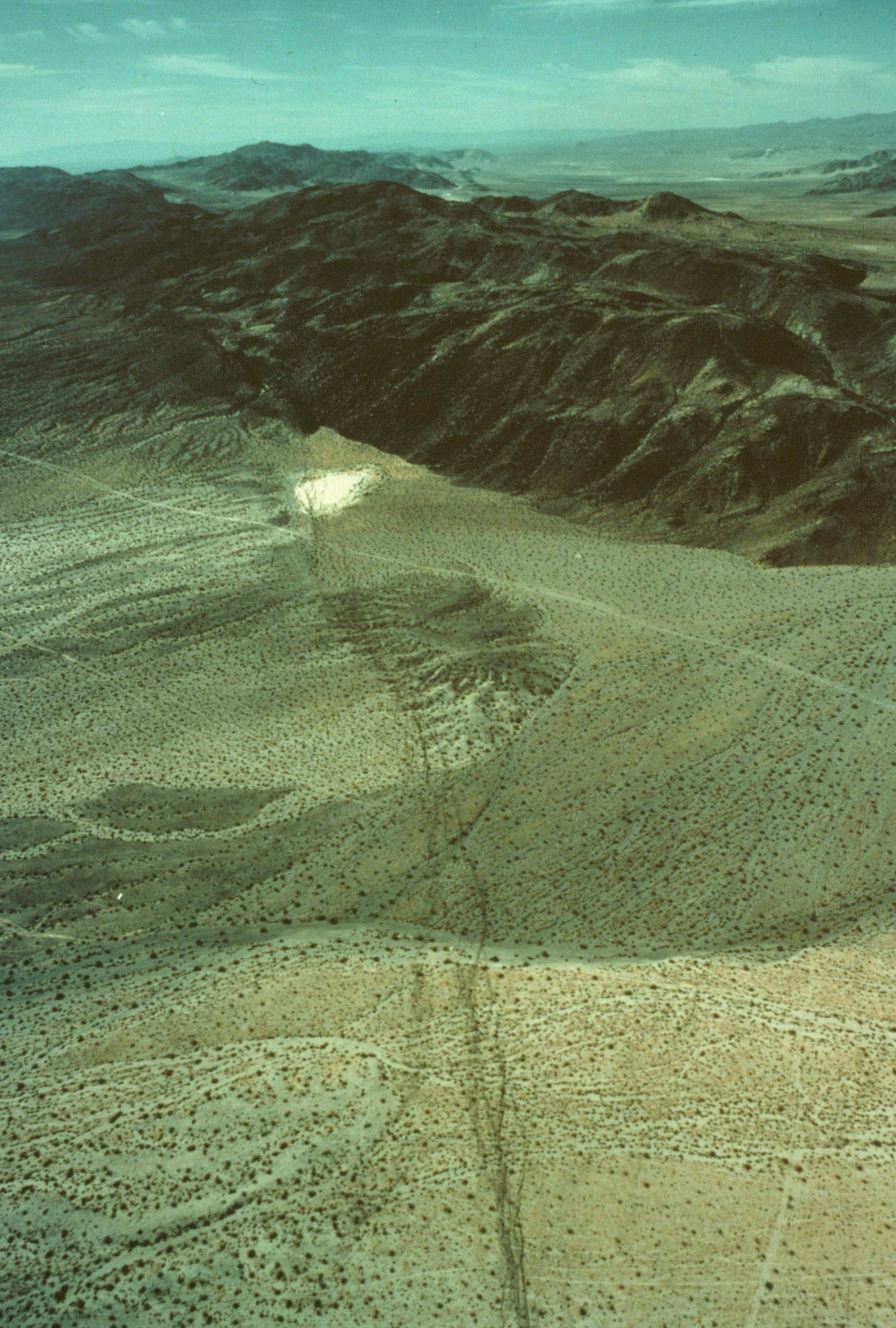
Aerial view of some of the rupture zone. Notice the width of the zone, and the en-echelon pattern of the rupture.
More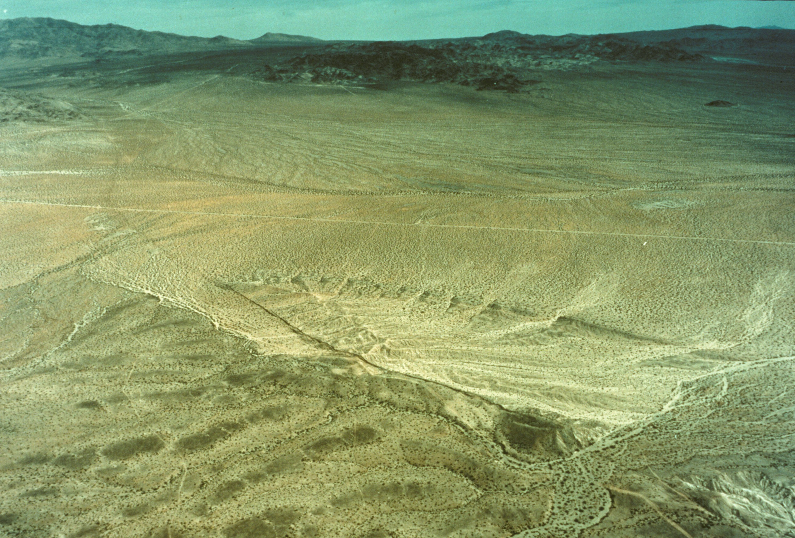
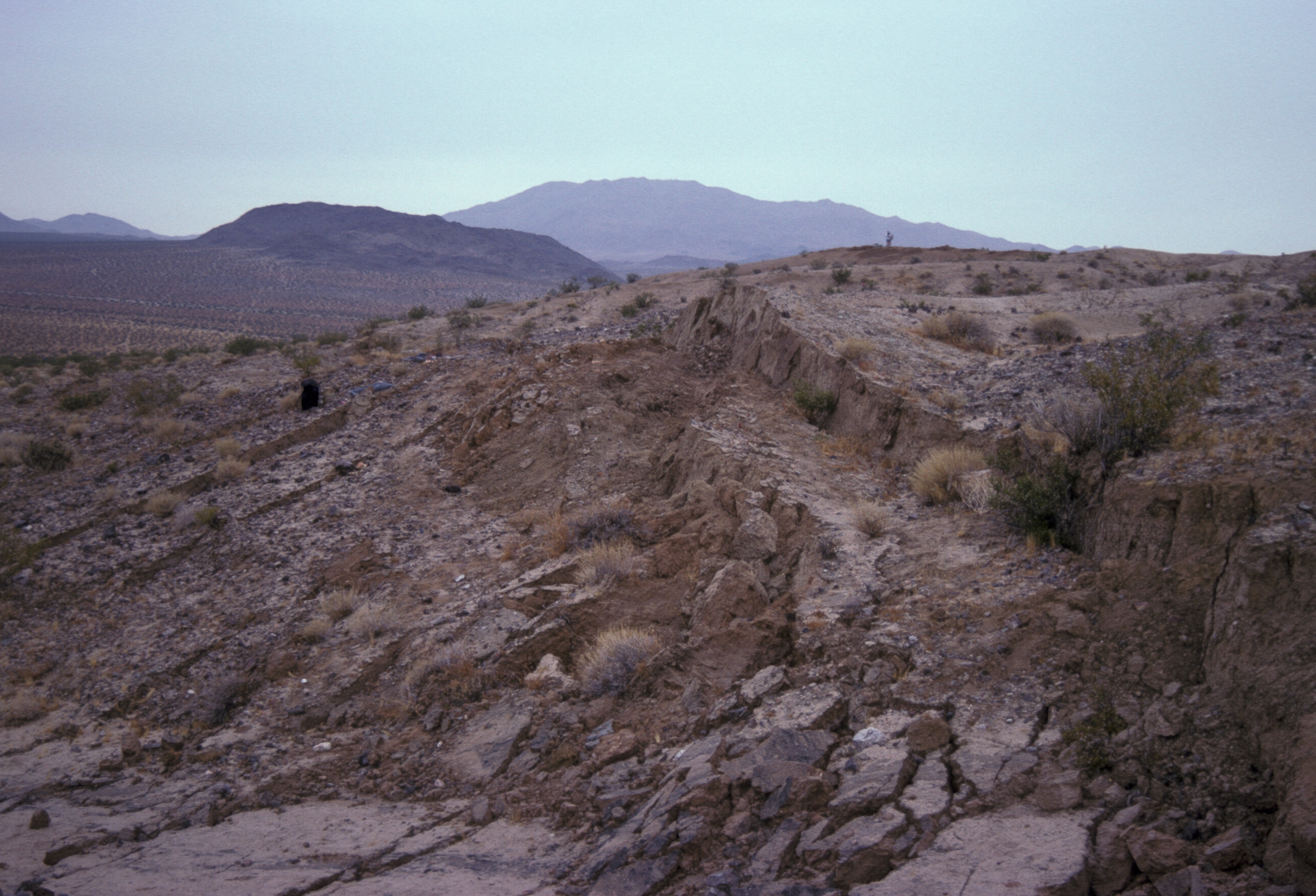
Aerial view of some of the rupture zone. Looking NE to the area shown in the beginning of this slide set.
More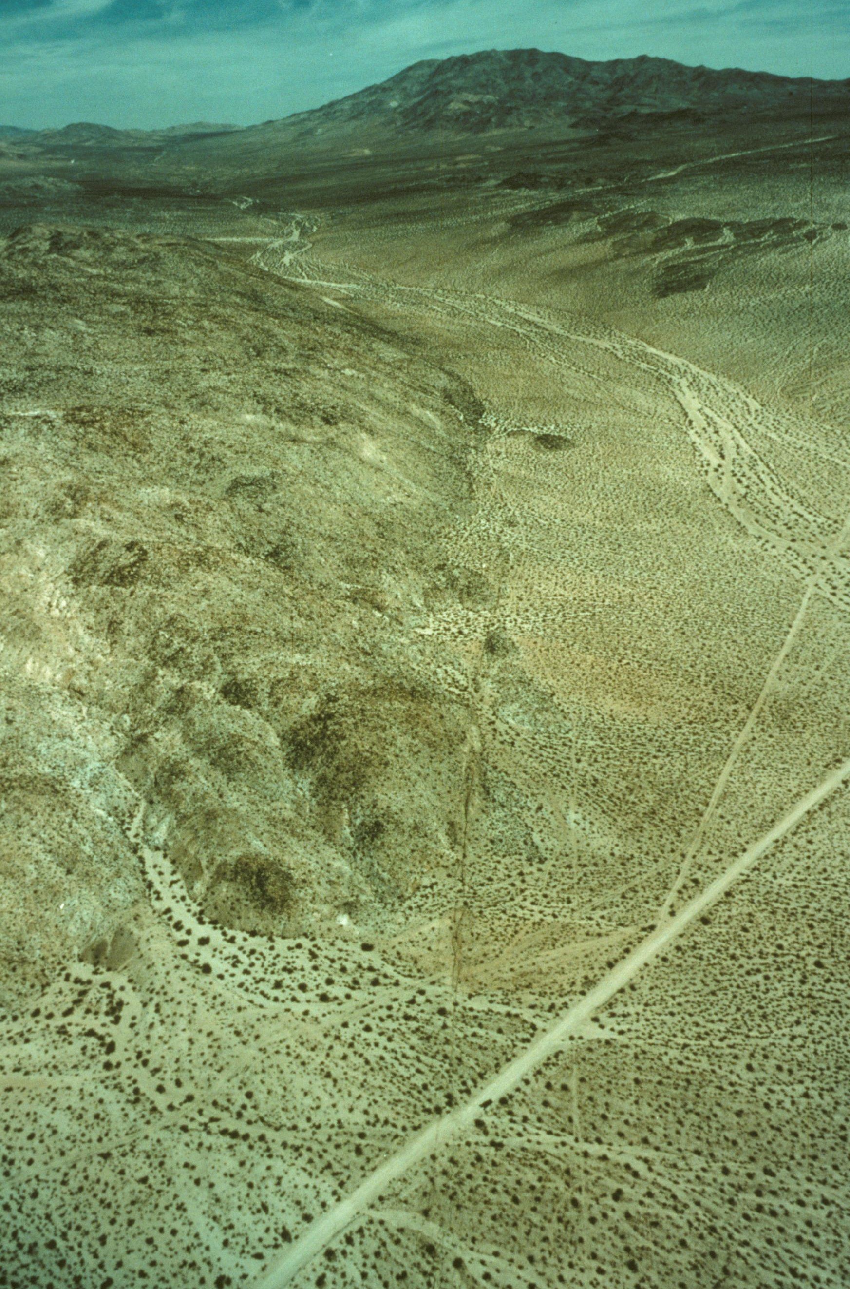
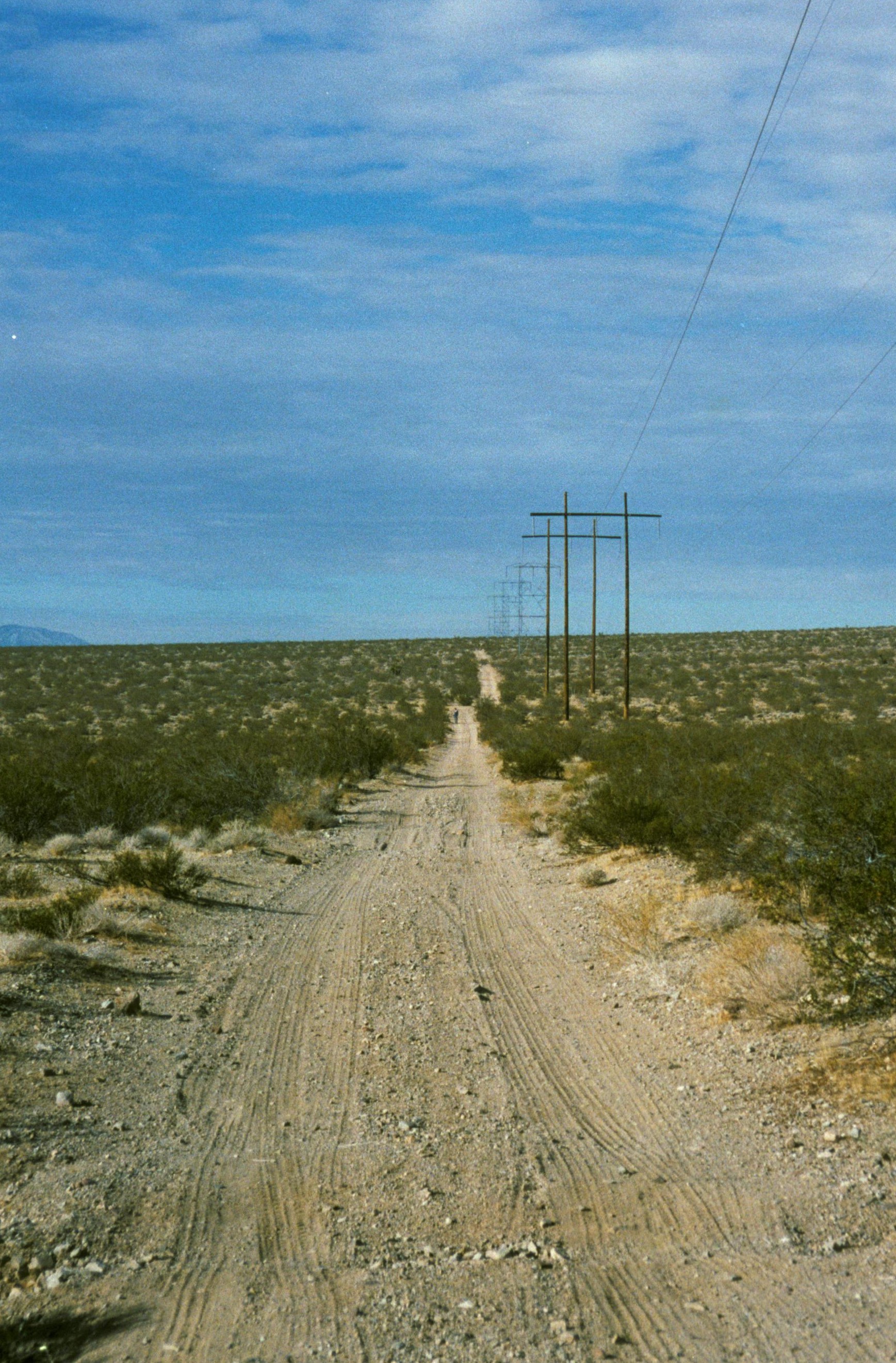
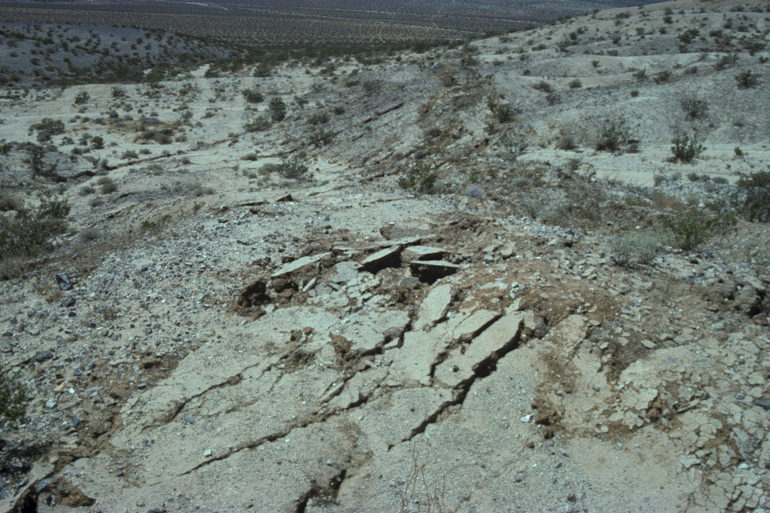
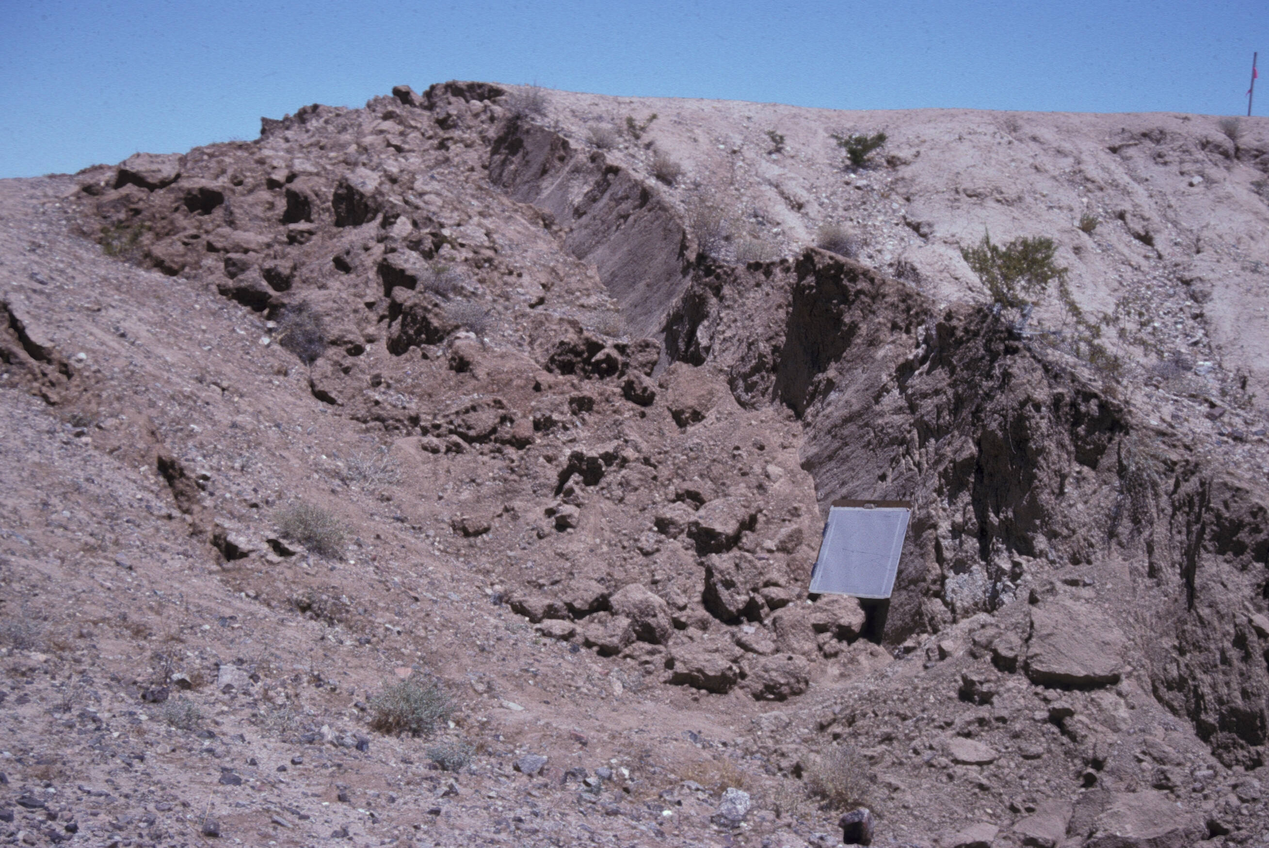
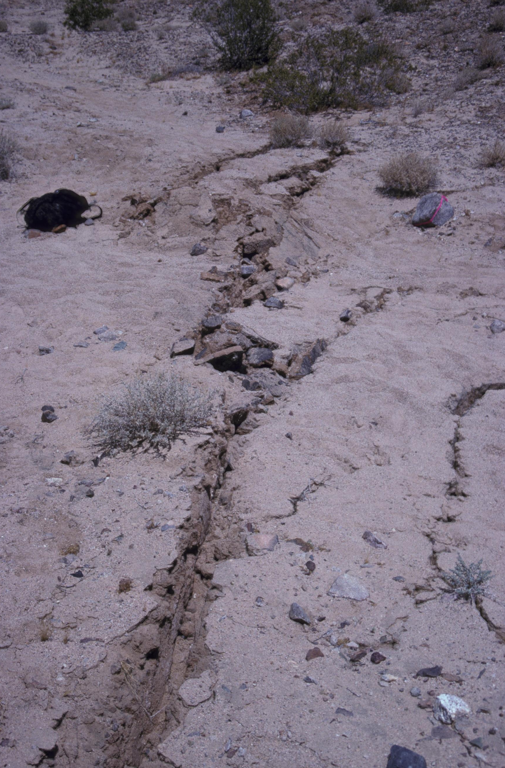
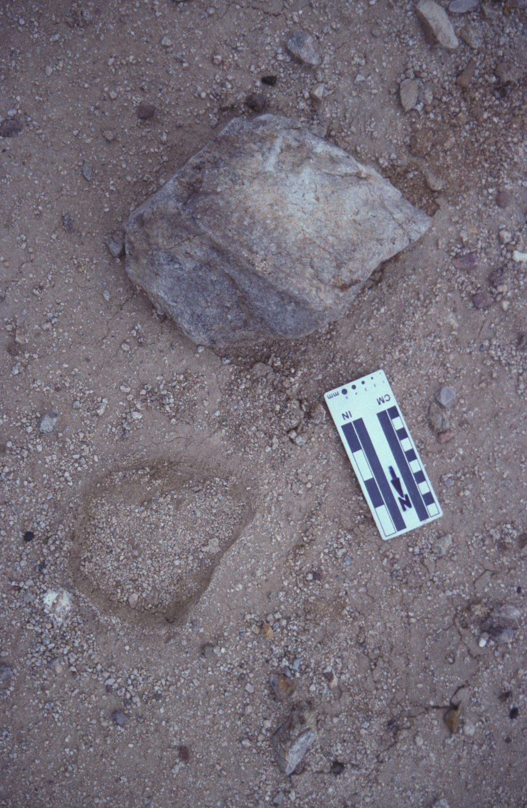
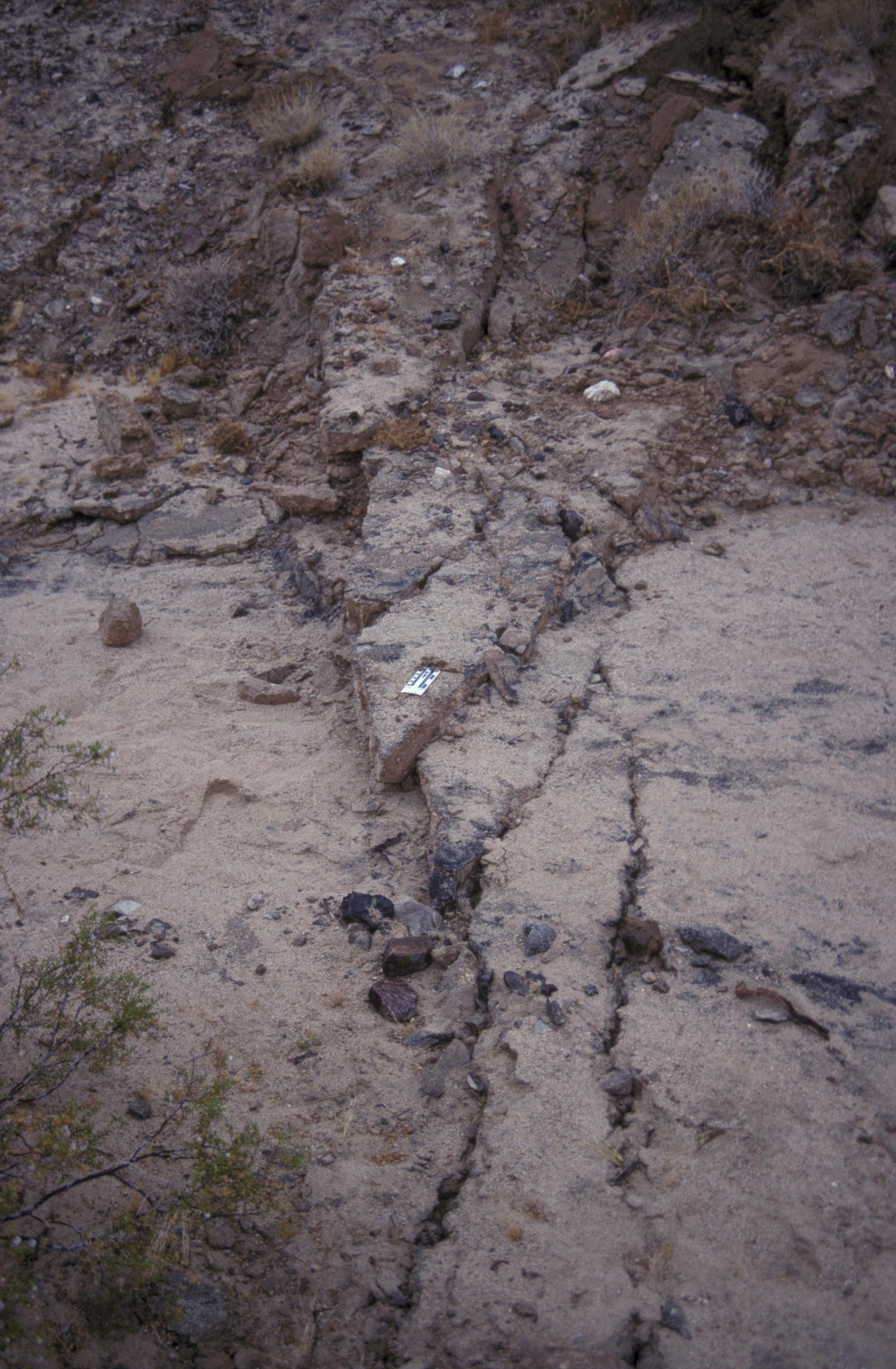
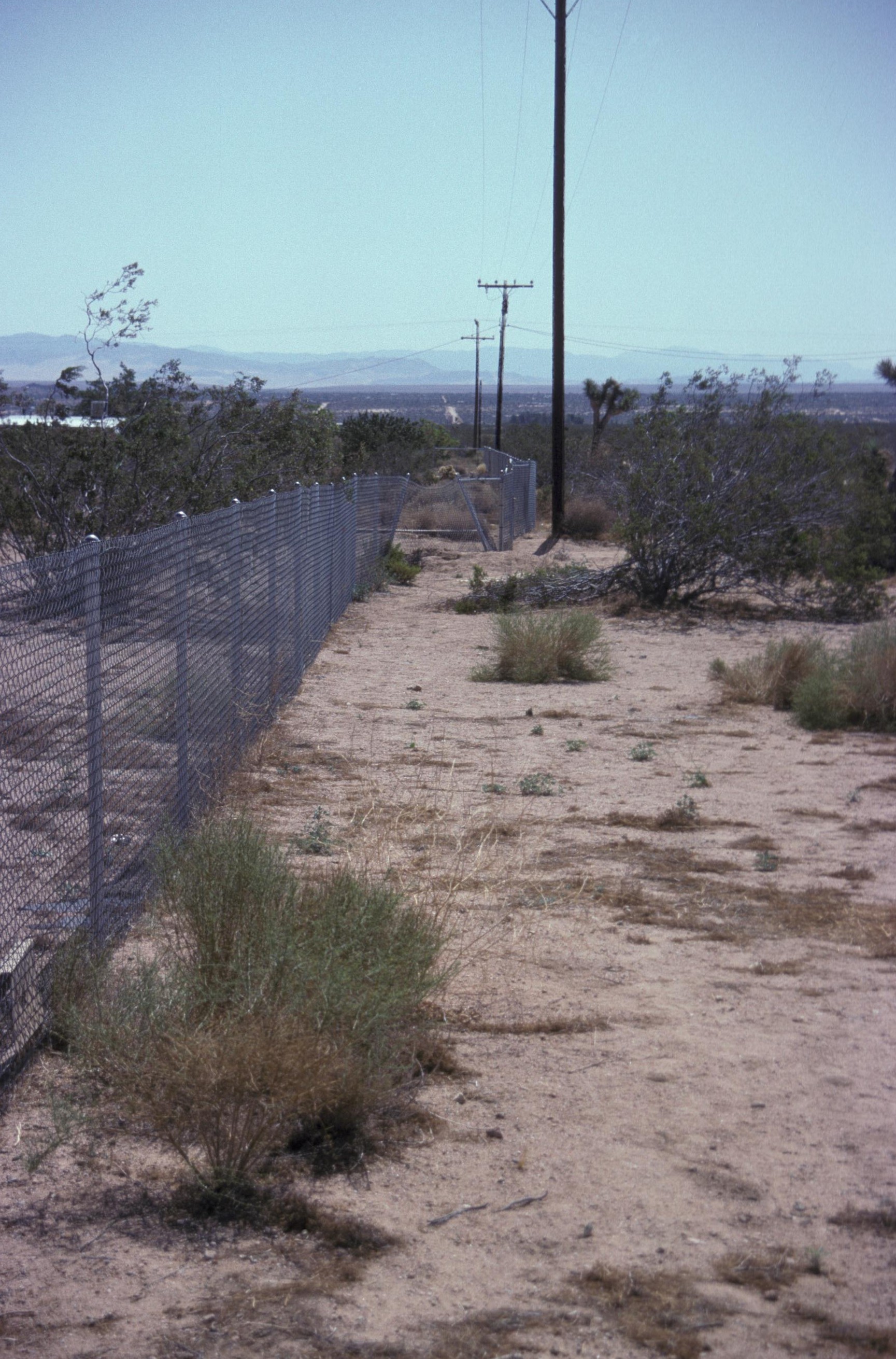
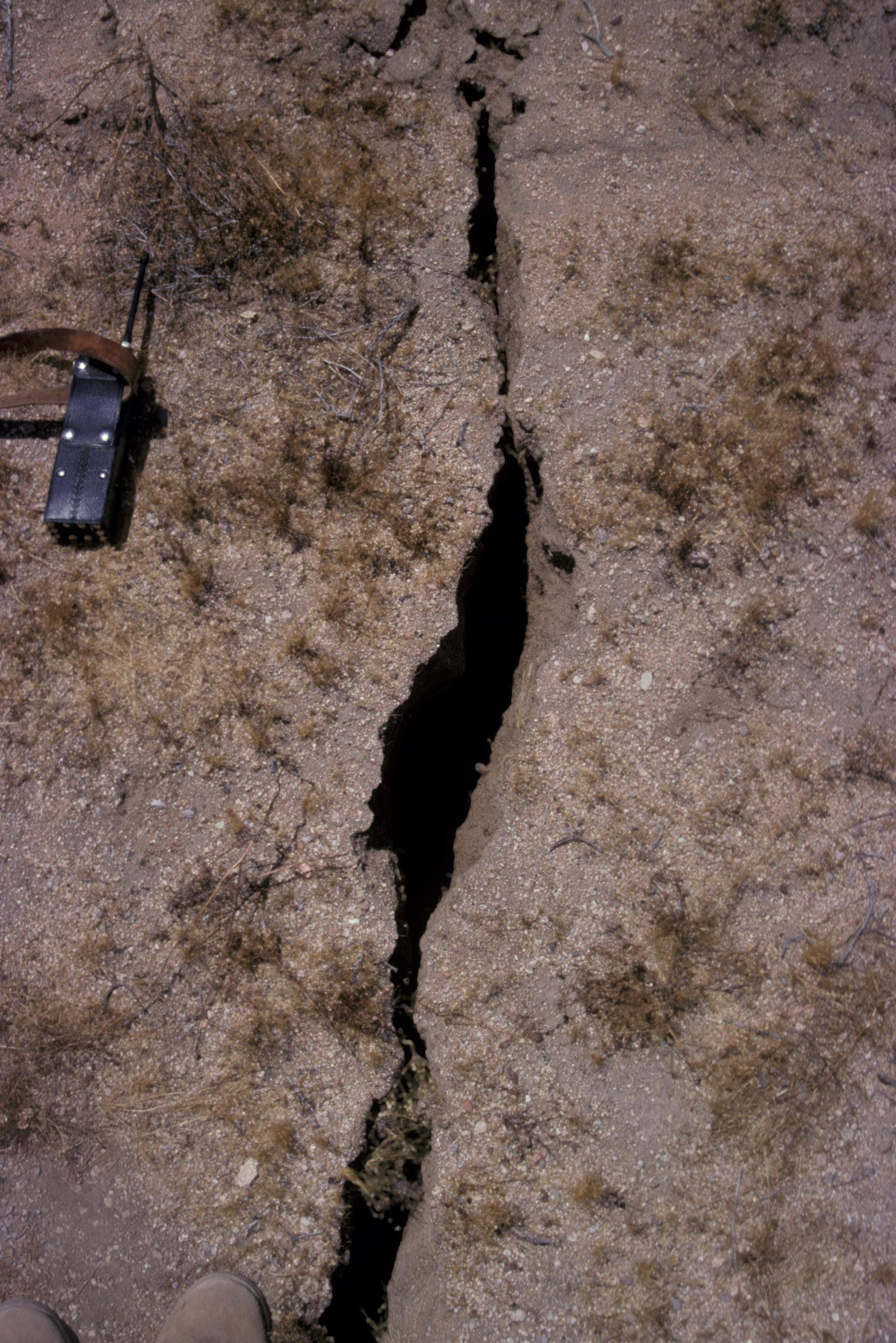
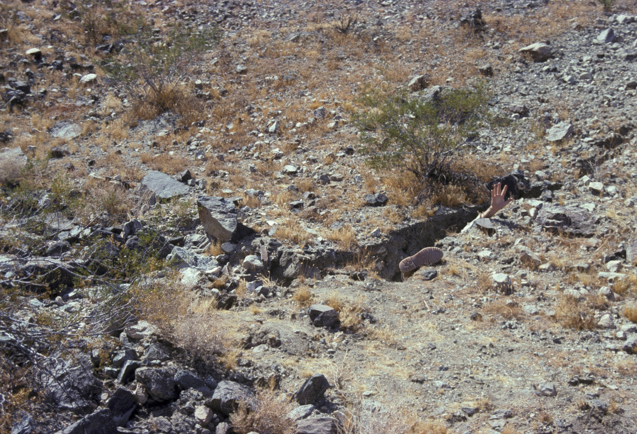
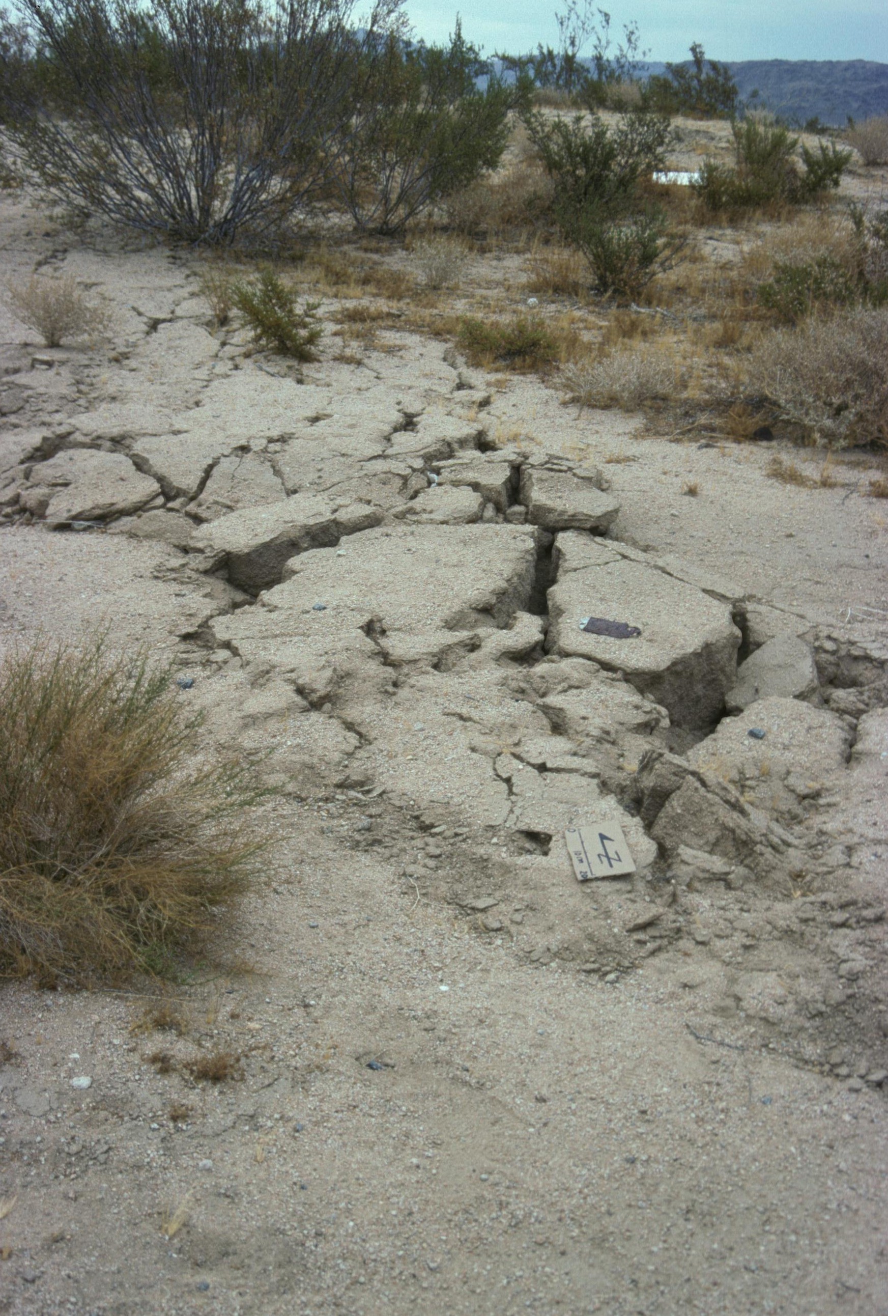
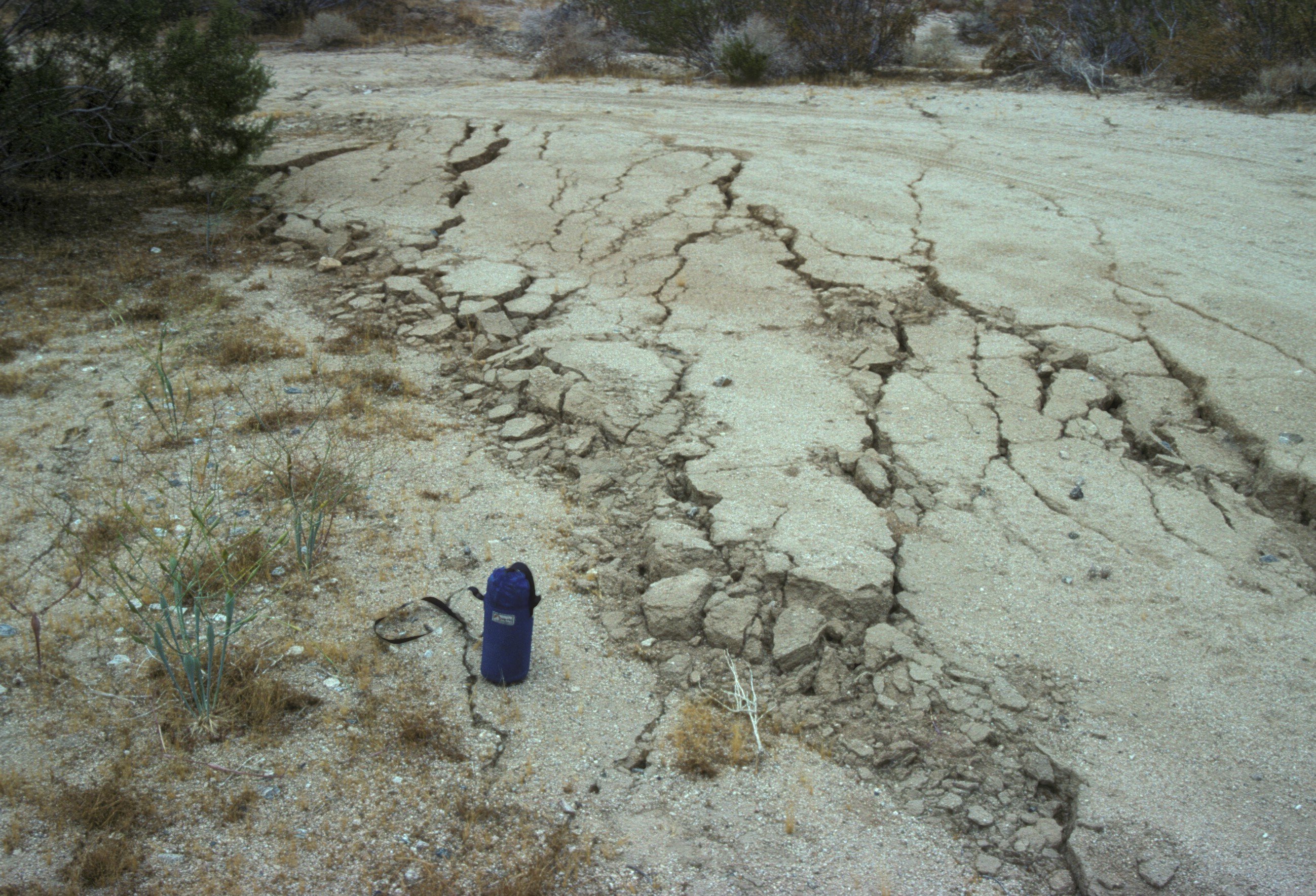
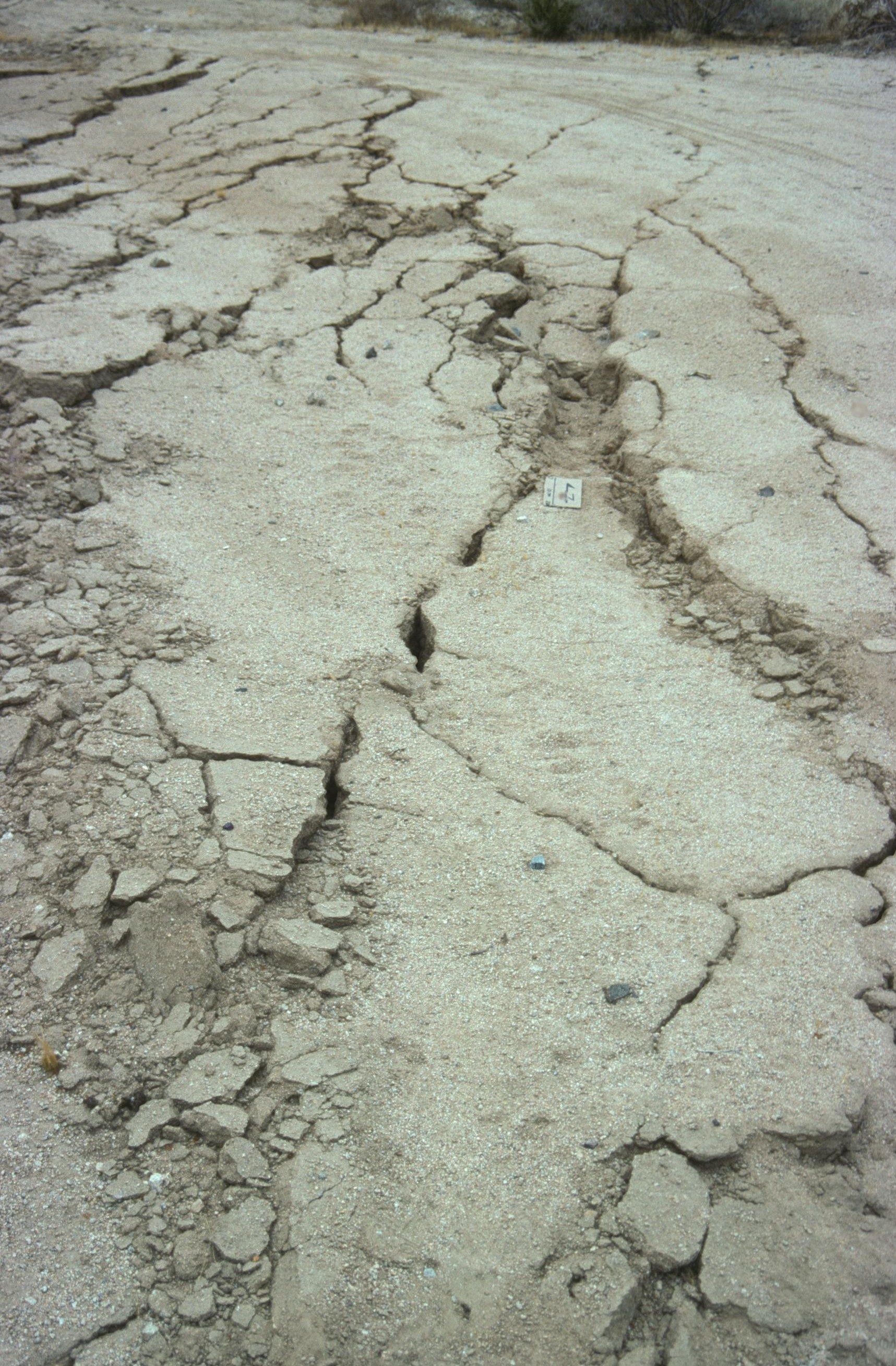
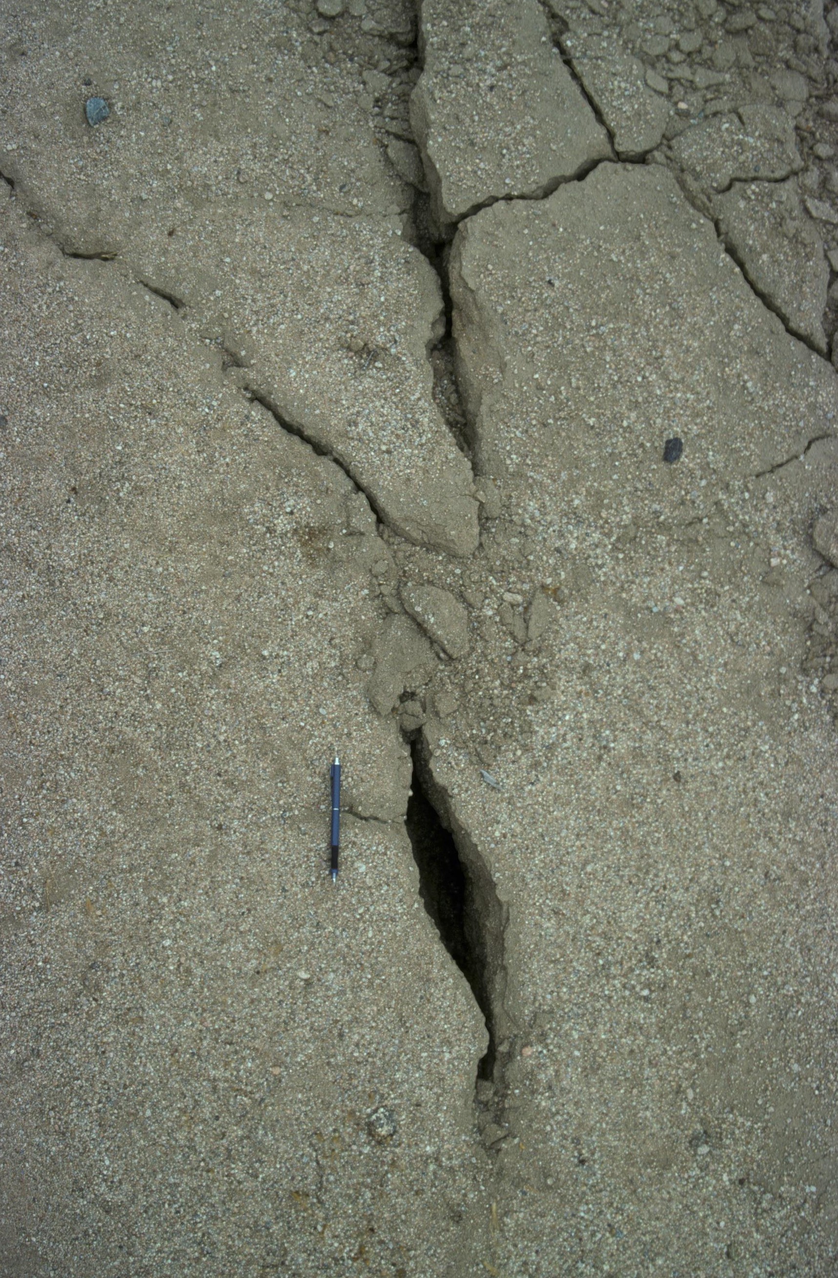
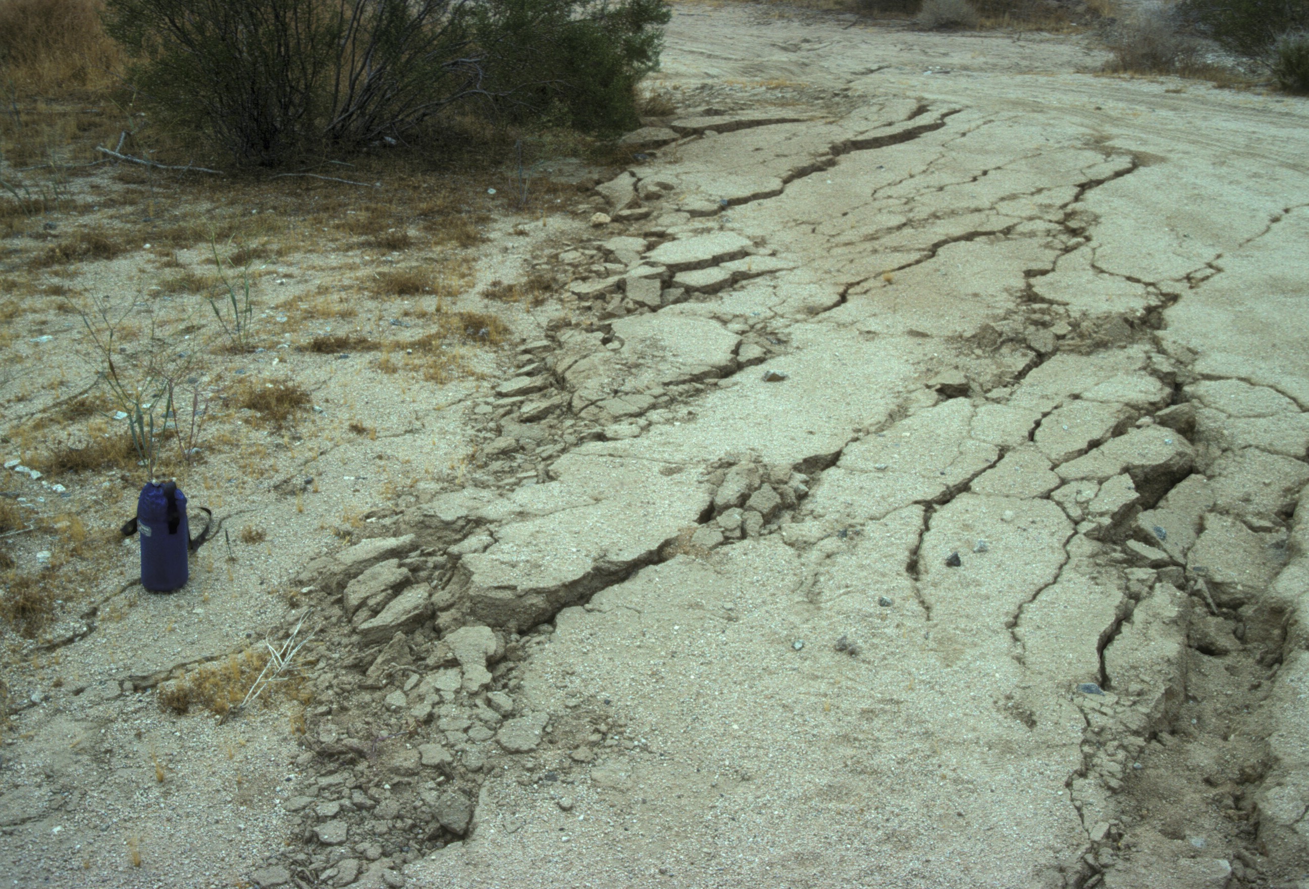
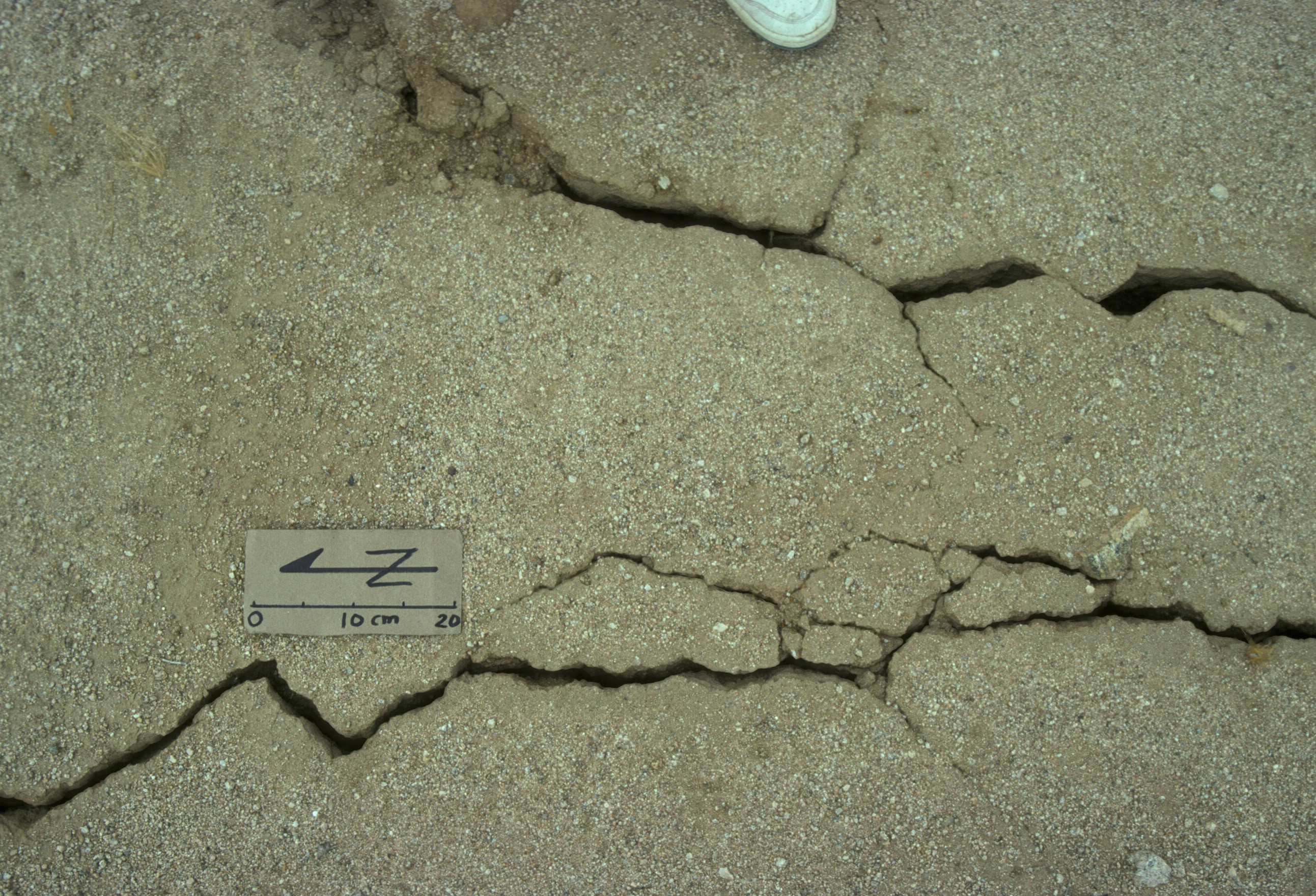
Miscellaneous photographs of ground deformation from the Landers area.
Geology Department
http://www.pdx.edu/geology
Copyright © 1994-2015 · K.M. Cruikshank ·
http://geomechanics.research.pdx.edu